
District Council of Yankalilla

1 Charles Street
YANKALILLA SA
Australia 5203
Fax 8558 2022
District Council Category
District Council of Yankalilla
The Southern Fleurieu was initially inhabited primarily by the Kaurna people who openly communicated with the Ramindjeri people, based at Encounter Bay. Aboriginal history credits the land forms of the Southern Fleurieu to the travels of Tjilbruke as he grieved carrying the body of his nephew from the Sturt River to Cape Jervis.
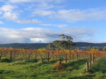
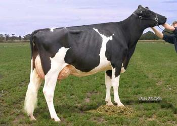
Farming land in the District was surveyed for purchase in 1838. Land was released in 1840 and communities were established at Myponga, Second Valley, Rapid Bay and later at Yankalilla. Sheep, potatoes and wheat were quickly in production. Beans, flax, tobacco, oats, maize and barley were grown widely. Flour milling was established at Second Valley, Normanville and Yankalilla and jetties were constructed to handle the produce to local shipping. Mining, timber milling and tannin production from wattle bark became successful local industries in the mid 1800s. Dairying became a major rural industry from the 1840s onwards to the present day. Butter and cheese were exported early in the District's history.
The District Council of Yankalilla was constituted on 5th April, 1854. Yankalilla has a village atmosphere and is nestled in the valley of the Bungala River. The coucil area also includes Second Valley, Rapid Bay, Parawa, Normanville, Myponga, Inman Valley Delamere, Carrickalinga, and Cape Jervis.
For more information visit the Yankallia Information Centre's Locality Listing or our Website via the link above.
Click "View Map" above to see our Location map.
Nearby Service areas are: Bald Hills, Bullaparinga, Parawa, Randalsea, Torrens Vale, Tunkalilla, Wattle Flat
Share this Localitylist | |||||||||||
| All content Copyright©2004-2026 RS Net. All rights reserved. | |||||||||||